The story and history of longitude is usually told as a sea story. John Harrison, the self-taught carpenter from Lincolnshire who solved the longitude problem with his series of marine timekeepers, is possibly the single most important figure in all of horology. Though his story has left a persistent misconception in its wake: that accurate timekeeping was invented for the sea.
From the land survey lines of the 18th century, to navigating the Western Desert and the jungles of Southeast Asia, the chronometer, and later the wristwatch, have been indispensable tools of exploration and navigation on land.
Time as a Tool: The Land Chronometer
The most important first step in determining longitude at sea was, in fact, to record it for certain places on Earth. Before a timekeeper could place a ship in the ocean, it had to fix the longitude of the observatories, harbours and landmarks against which local time was compared: none of which could be fixed without accurate time.
The great cartographic explosion of the 1700s was made possible by exactly this combination: portable, accurate timekeeping and rigorous observation. It was the century that bore the foundations of the Ordnance Survey under William Roy, the century in which David Thompson surveyed and mapped some 1.5 million square miles across western Canada and the Pacific Northwest, and the polymath Count von Brühl traversed Britain on foot to verify longitude points.
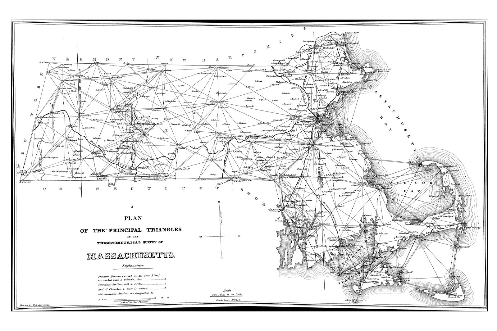
Land chronometry advanced in the 19th century. When self-taught engineer and inventor Simeon Borden set out to survey Massachusetts in 1846, he transported 38 chronometers between Boston and Pittsfield, across 13 trips, just to determine the longitude of a single church.
You take the standard from your regulator at the observatory and synchronise the correct local time. Then you go off into the field. It could be 10 miles away, a hundred, a thousand. You carried the right time with you, and with it, longitude at any fixed point.
The instruments that made this possible were the same boxed chronometers that went out to sea. Standard examples, kept in their familiar three-tier gimballed wooden boxes to remain level on uneven ground, were highly shock-resistant and reliable over long periods away from a fixed base.
Before this kind of precision was available, the edges of the known world were generally unknown, and not just in the cartographic sense. Say you owned a great estate, or even a country, you wouldn’t have been able to map it out precisely without accurate time.
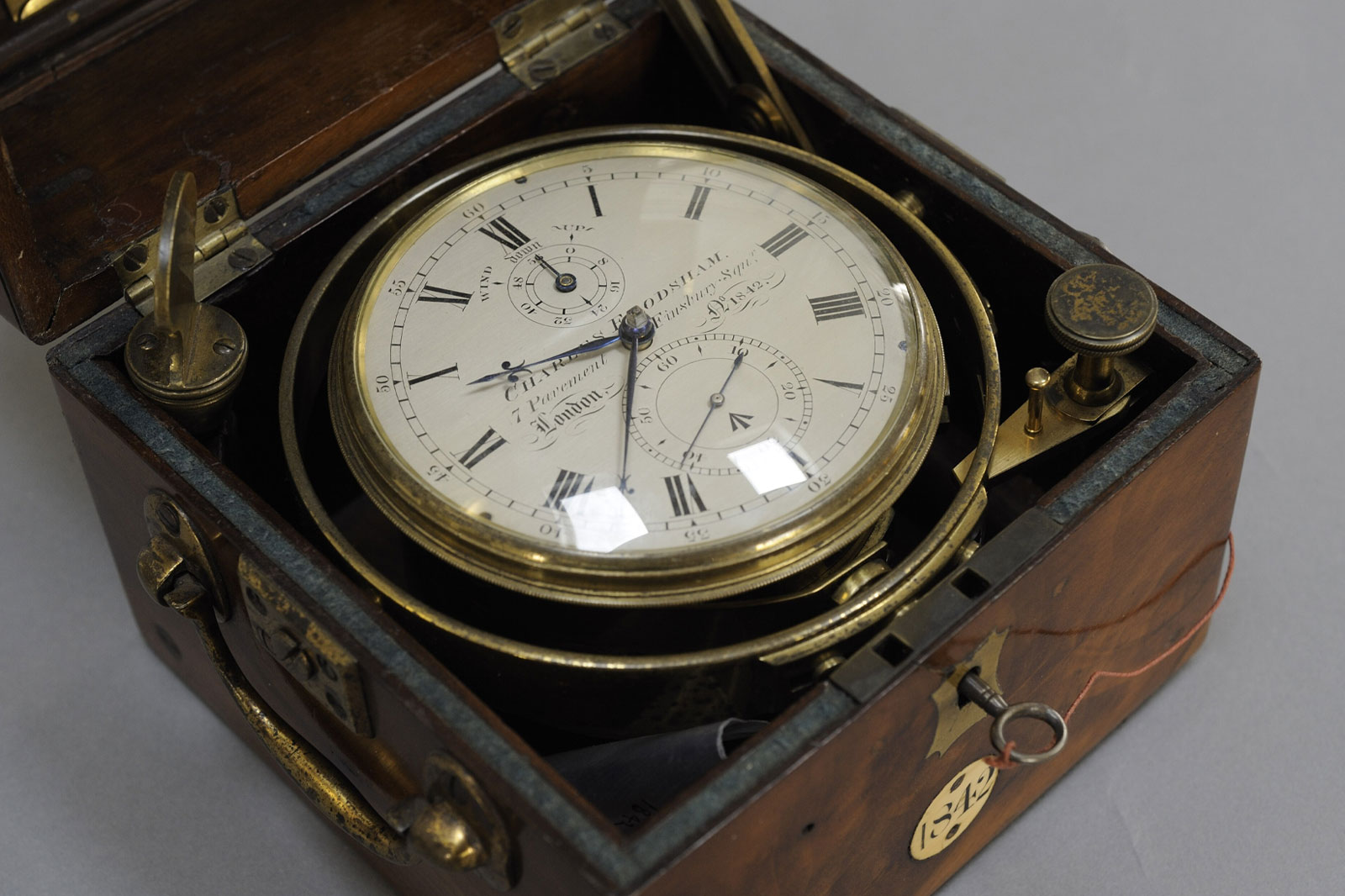
Nowhere is this forgotten history of chronometry more vividly embodied than in Charles Frodsham’s chronometer number 1842.
Purchased by the British Admiralty on 6 March 1841, it was immediately issued to HMS Wilberforce and dispatched to map the River Niger as part of an anti-slavery mission into largely uncharted territory, where the chronometer fixed positions as the ship worked its way upstream.
Nearly five decades later, on 4 April 1889, Frodsham number 1842 was reissued for an Admiralty Hydrographic survey of the west coast of England. The surveys updated bathymetric charts, mapped sandbanks, and revised the Sailing Directions for the approaches to the Irish Sea and the Port of Liverpool. A single chronometer, five decades of service, across two continents with vastly different climates, served some of the most important surveys of the 19th century.
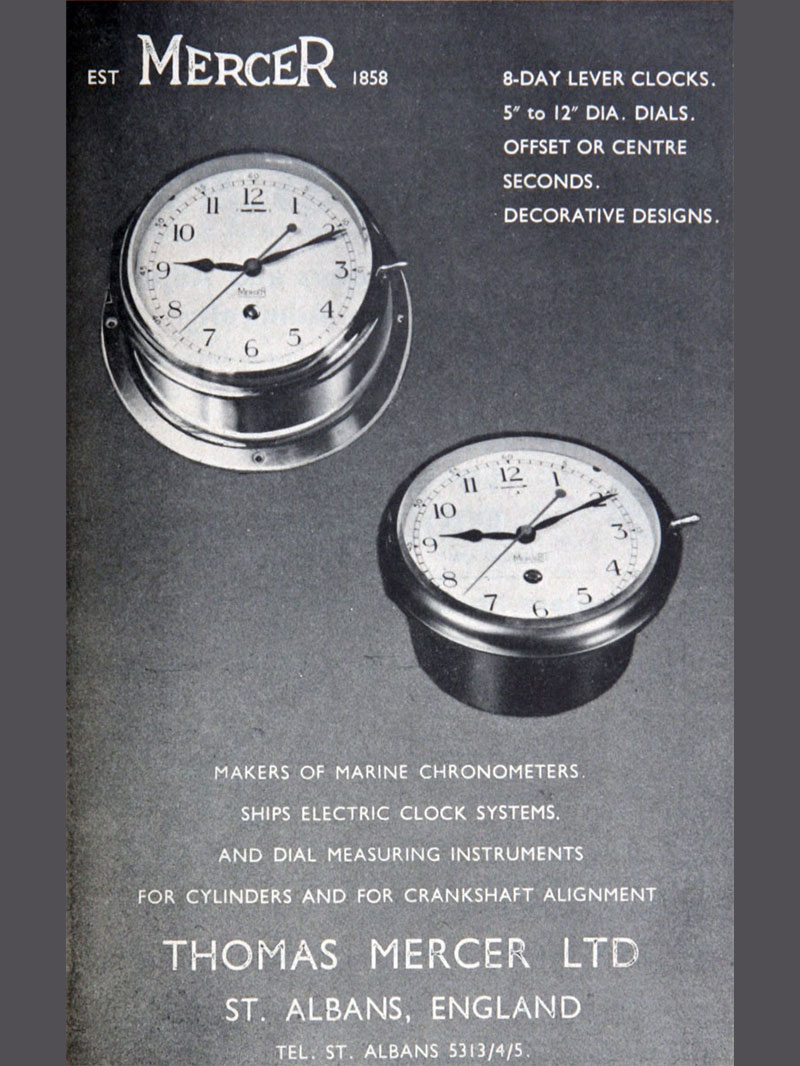
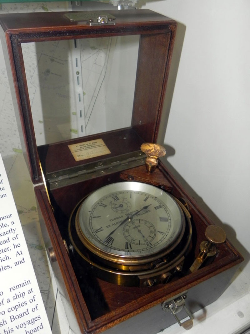
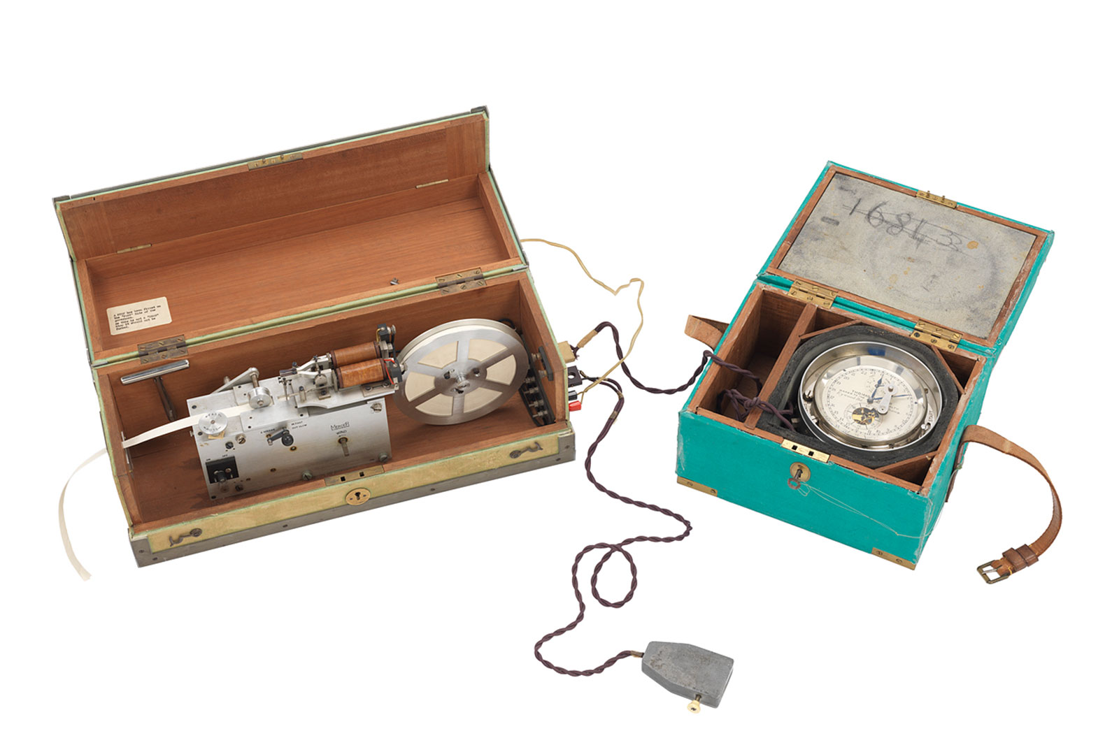
Thomas Mercer of St Albans eventually became the definitive name in survey chronometers. The Admiralty continued issuing them for harbour and coastline surveys well into the 20th century. These more specialised survey chronometers were rated to sidereal time (the Earth’s rotation measured against distant stars rather than the sun) and fitted with electrical contacts that connected to tape chronographs, continuously recording the exact moment of astronomical sightings.
The combination of precision timekeeping and an accurate observation gave you longitude, whether you were on land or at sea. The same principles had been refined over centuries into a mature and trusted system, one that quartz and, later, GPS would not fully render obsolete until the closing decades of the 20th century.
The LRDG and MACV-SOG: Navigation by Wristwatch
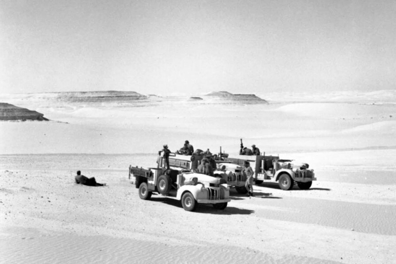
Two 20th century theatres of war demonstrate the wristwatch’s use as a navigational tool on land: one in open desert, one in closed jungle, each governed by the same underlying logic as the survey chronometers before them.
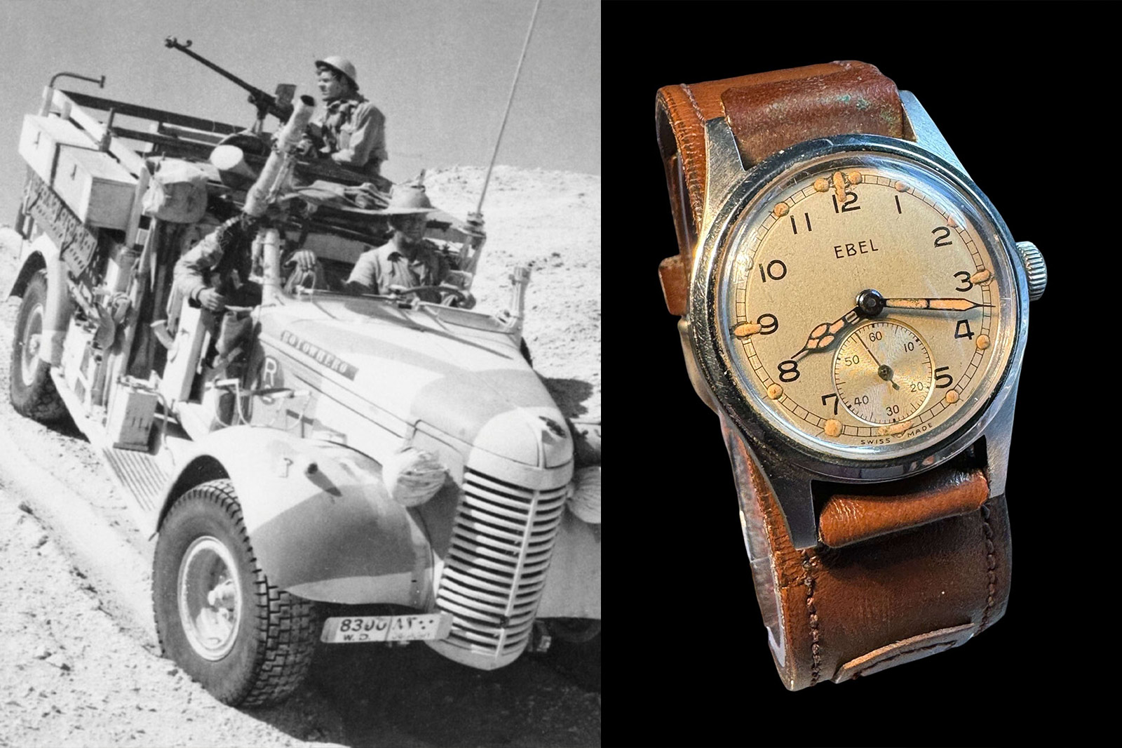
The Long Range Desert Group were the rogue precursors to the formidable Special Air Service, operating in the Western Desert between 1940 and 1943, conducting reconnaissance and raids across hundreds of miles of featureless terrain. They had no landmarks, no roads and no reliable maps of the desert interior. LRDG navigators therefore devised a system of dead reckoning that would have been recognisable to any 19th century surveyor: a sun compass for direction, pace count for distance, and elapsed time to tie the equation together.
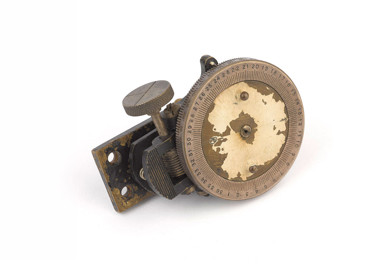
The sun compass was an instrument of apparent simplicity: a circular disc mounted on the bonnet or dashboard of the patrol vehicle, with a central gnomon that cast a shadow across a graduated bearing ring. Unlike a magnetic compass, it was immune to interference from the steel bodywork and metal equipment that surrounded it. The navigator would set the local time and latitude, align the shadow to the sun’s current position, and read off a true bearing.
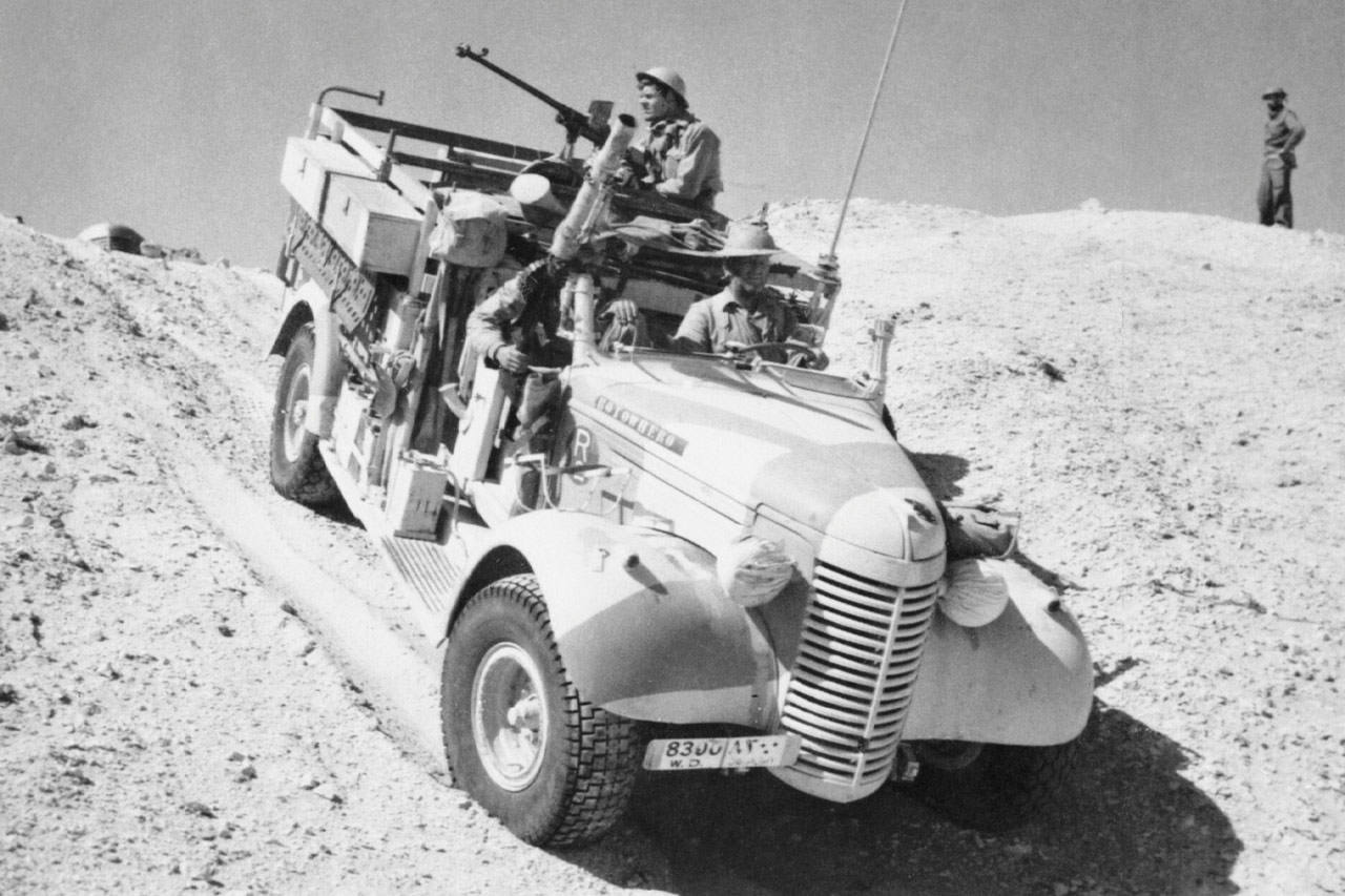
The LRDG weren’t on foot, so they adapted the surveyor’s principle to the vehicle: their navigators worked from the cab, cross-referencing the speedometer against elapsed time on their wristwatch to calculate distance travelled. Pace counting, the basic principle that a consistent stride length tallied over distance yields a reliable measure of ground covered, became speed multiplied by time. The early patrols ran modified Chevrolet WA, WB and VA 30cwt trucks procured from civilian dealers in Alexandria, alongside cut-down Ford C11ADF station wagons. From March 1942, the group standardised on the Canadian-built Chevrolet 1533×2, a rugged 30cwt patrol truck that became the signature vehicle of the desert campaign.
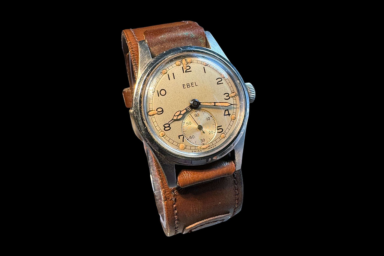
Speed multiplied by time gave distance, and direction came from the sun compass. The final piece of the puzzle was accurate timekeeping, which is precisely where the wristwatch became indispensable. For the LRDG, operators were most likely encouraged to use their own personal wristwatches, though there is evidence they were also issued more accurate pocket watches for navigation. Some have reckoned they were likely issued Army Trade Pattern watches, the ATP, developed by the British War Office and issued from 1939. The ATP was produced by 19 confirmed manufacturers, including Timor, Vertex, and Rotary, and is the first British military-spec wristwatch. They were typically in 31mm nickel-plated brass cases, with a silvery white dial and sub-seconds at six o’clock; a field watch in its most essential form.
During the Vietnam War, the navigational problem was reversed: where the desert offered too much space, the jungle offered too little visibility. The MACV-SOG (Military Assistance Command, Vietnam, Studies and Observations Group) were the most covert American special operations personnel of the war. Operating deep in triple-canopy jungle, SOG teams had no horizon, no reliable view of the stars and no significant landmarks of any kind. A key component of the operations was to get deep behind enemy lines to relay coordinates back to command.
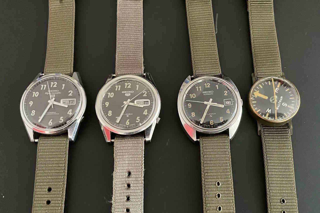
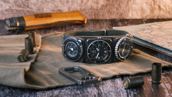
With no horizon, sun or stars to work from, navigation was reduced to its fundamentals: pace count for distance, a humble Seiko 5 to record elapsed time, and a Waltham wrist compass for direction. The two instruments worked in tandem on the wrist, together doing what the chronometer and compass had once done on a ship’s bridge.
The collector community has identified three references of Seiko 5 used by the MACV-SOGs: the 6619-8060 from around 1967, the 6119-8100 from around 1968, and the 7005-8030 from around 1970. The earliest, the 6619-8060, was a self-selected piece of kit rather than an issue piece, purchased by soldiers at Military Post Exchanges. It was a civilian day-date field watch with legible Arabic numerals, chosen for its practicality and worn on the same single-pass nylon strap as the wrist compass. The combination of field watch and wrist compass has since become a talisman of daring adventure among enthusiasts.
The Digital Inheritance
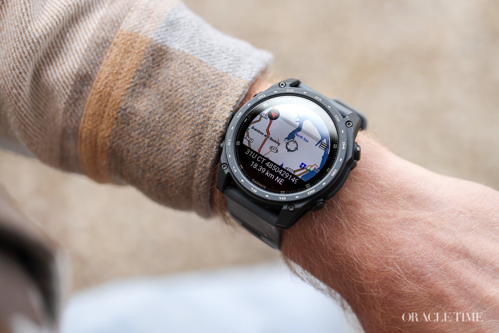
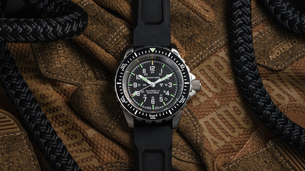
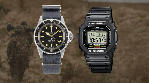
In the same way watches overtook the chronometer as a navigational tool on land, digital GPS watches replaced the humble field watch. Though it’s worth remembering that the Garmin on a trail runner’s wrist and the Casio Pro Trek on a mountaineer’s are, at their core, doing precisely what Charles Frodsham’s chronometer number 1842 did in the 19th century: fixing a position by combining accurate time with a known reference.
GPS has automated the arithmetic and miniaturised the observatory, but the underlying logic is unaltered. Direction, elapsed time, distance: the same three variables that governed early land surveyors around the world, the LRDG navigators in the Western Desert and reconnaissance teams in the Mekong Delta, are baked into the essence of modern digital tool watches today.
If any of the watches in this article interest you, why not check out our guide to buying vintage military watches at auction?
Frequently Asked Questions
How did soldiers navigate before GPS?
Before GPS, soldiers used dead reckoning: a compass for direction, pace counting or speedometer readings for distance, and a wristwatch for elapsed time. On open ground, a sun compass replaced the magnetic compass to avoid interference from metal vehicles. These three inputs – direction, distance, time – gave position without external signals or landmarks.
What is dead reckoning and how does a wristwatch help?
Dead reckoning is a method of calculating current position from a known starting point using direction, speed, and elapsed time. The wristwatch supplies the elapsed-time component: speed multiplied by time gives distance, and direction comes from a compass. Without an accurate timepiece, the calculation fails. It is the same principle used by 18th-century land surveyors, the LRDG in the Western Desert, and MACV-SOG teams in Vietnam.
What watch did the Long Range Desert Group use?
The LRDG most likely used Army Trade Pattern (ATP) wristwatches, the first standardised British military wristwatch specification, produced by Swiss manufacturers from 1939. Some operators may have used personal wristwatches or more accurate pocket watches for navigation. No single definitive LRDG issue watch has been documented.
What is the MACV-SOG Seiko?
MACV-SOG operators used three Seiko 5 references during the Vietnam War: the 6619-8060 (c.1967), 6119-8100 (c.1968), and 7005-8030 (c.1970). The watches were a self-selected piece of kit rather than an issue piece, purchased by soldiers at Military Post Exchanges and worn alongside a Waltham wrist compass for navigation in triple-canopy jungle. They are highly sought-after collector references today.
What is the Army Trade Pattern watch?
The Army Trade Pattern (ATP) was the British military’s first standardised wristwatch, introduced in 1939. Watches were produced by Swiss manufacturers to a common spec: 31mm nickel-plated brass case, white dial, sub-seconds subdial. It is the direct precursor to the more famous Dirty Dozen specification of 1945.